2025 UCGIS Symposium
2025-06-27
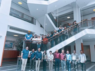
Disasters become prominent global issues that simultaneously pose a threat to multiple countries or regions around the globe. The dynamics of a multi-scale networked society are inextricably entangled with geographical and built environments, where human-environmental interactions shape community resilience under different disaster events. Disaster management is gradually empowered by increasing geospatial big data awareness and growing computing capabilities to produce spatial vulnerability and situational understanding for supporting timely decisions. This CyberTraining workshop shed light on high-performance geocomputational educational concepts important in understanding human-environment interactions in disaster management. The workshop features training modules, ranging from fundamental to advanced levels, covering key concepts in Cyberinfrastructure (CI) and high-performance computing (HPC) to lower barriers to CI adoption in disaster management research. Participants will gain hands-on experience in advanced geospatial data analysis and visualization techniques, enabling them to better understand disaster patterns across diverse spatiotemporal scales. This project was funded by the National Science Foundation (NSF) CyberTraining program (Award #2321069). Through this project, we established the International CyberTraining for Disaster Management (CTDM) network, bringing together academic institutions, governmental agencies, hazard research centers, industry, and educational organizations to leverage interdisciplinary expertise in developing training materials for the next-generation workforce in geospatial and disaster science. This CyberTraining project will broaden access to CI for disaster research communities and help enhance workforce development among diverse disciplines such as disaster science, GIScience, engineering, and social science. The project will help disaster research communities strengthen their CI-enabled disaster management and geospatial computing skills, thus improving decision- making capabilities for enhancing community resilience. For more details about this project, please visit our project website: https://dev.ctdm.org/
Activity Schedule
| Time | Program Activities |
|---|---|
| 8:00-9:00 am |
|
| 9:00-10:20 am |
|
| 10:20 -10:30 am |
|
| 10:30-11:30 am |
|
| 11:30 am-12:10 pm |
|
| 12:10-1:30 pm |
|
| 1:30-1:40 pm |
|
| 1:40- 3:00 pm |
|
| 3:00-3:20 pm |
|