Webinars

Profile
Potential and Threats Related to Open Geospatial Data in the Uncertain Geopolitical Environment2024-11-08Dr. Henrikki TenkanenDuring the last few decades, there has been increasing interest in open geospatial data, especially with regard to the public sector. Open data promotes transparency in society, and data availability creates significant additional value. There are also potential threats associated with open data. For example, threats to society and national security related to open data have been given a lot more attention than before in many countries, including Finland. In this presentation, we will present the key results of a project that investigated potential threats related to open data and society in Finland based on group interviews with several security experts in Finland. Based on the interviews, we created a number of threat scenarios that were further refined and discussed with experts. We recognized a large number of different potential malicious actors, ranging from hostile nations to individual criminals. The threats these actors might cause are varied, and for many, the best ways to mitigate the threat are not, in fact, related to open data themselves. In addition, changes to open datasets can have significant side effects that also need to be taken into account when considering how to manage the potential threats. Our study concludes that decisions to open new datasets or to modify already existing ones need to be made carefully, and threat and risk assessment must always be weighed against the benefits of publishing the data and the drawbacks of leaving the data unpublished.
Profile
Harnessing the Geospatial Data Revolution to Empower Smart Transport and Enhance Road Safety2024-10-04Dr. Xiao LiWith the advancement of new and scalable data sources, robust acquisition methodologies, and transmission techniques, unprecedented amounts of traffic information are being generated and collected from various data sources, such as wearable biosensors, remote video, street-view imagery, GPS-enabled smartphones, (geo)social media, and connected & autonomous vehicles (CAVs). Compared to conventional traffic data, these emerging geospatial data sources provide researchers with rich and timely information to depict the road environment details, monitor traffic flow dynamics, capture/predict traffic conflicts, detect driving behavioral changes, and assess travel risk perceptions, among others. In this presentation, Dr Xiao Li will showcase some research projects, highlighting the applications of emerging geospatial data in road asset management and road safety assessment. Additionally, possibilities for future engagement and research will also be discussed. Bio: Dr Xiao Li is a Senior Researcher at the Transport Studies Unit of the University of Oxford. He is also a ‘Bryan Warren’ Junior Research Fellow at Linacre College Oxford. His research lies at the intersection of Geographic Information Science (GIS), Spatial Data Science, and Transport Geography. Dr Li received his PhD in Geography (GIS Transport) from Texas A&M University in 2019. Before joining TSU, he worked as an Associate Transport Researcher at Texas A&M Transportation Institute. Dr Li has led and participated in multiple projects sponsored by USDOT, FHWA, TxDOT, and US National University Transportation Centres (UTC). Currently, Dr Li serves on the Transportation Research Board (TRB) Standing Committee on Geographic Information Science in the US. He is also a management committee member of the Transport Statistics User Group and RGS-IBG GIScience Research Group in the UK.
Profile
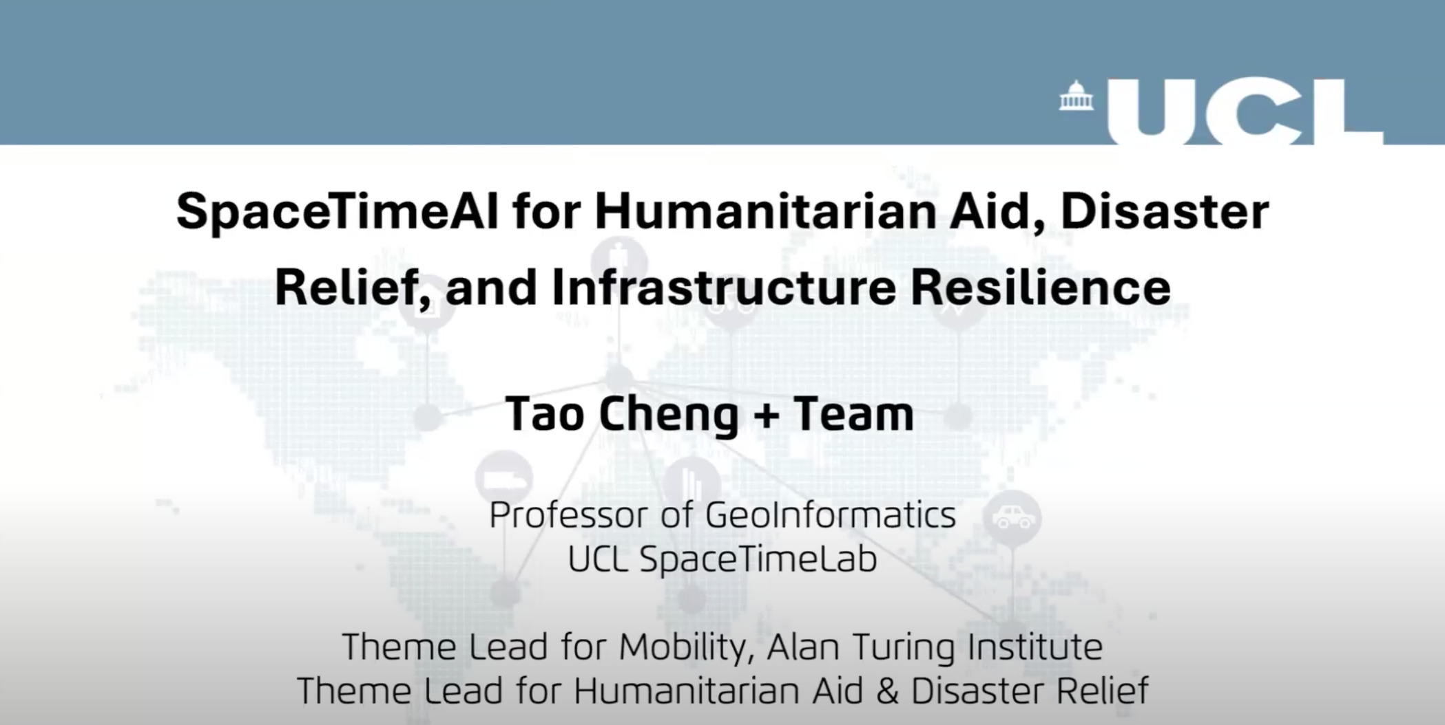
CyberTraining: SpaceTimeAI for Humanitarian Aid, Disaster Relief, and Infrastructure Resilience2024-10-21Dr. Tao ChengTao Cheng (HDR, PhD, FRGS, FICE, CEng) is a Professor of Geoinformatics in the Department of Civil, Environmental, and Geomatics Engineering at University College London (UCL). She serves as the Theme Lead for Mobility at the Alan Turing Institute and is a member of the College of Experts (CoE) for the Department for Transport, UK. She is also the Founder and Director of UCL SpaceTimeLab (www.ucl.ac.uk/spacetimelab), a world-leading research center that leverages SpaceTimeAI to gain actionable insights and foresights from spatio-temporal data for government, business, and society. Her research interests span AI and Big Data, network complexity, and urban analytics with applications in transport and mobility, safety and security, business intelligence, and natural hazards prevention. She has secured more than £25M in research grants in the UK and EU, collaborating with government and industrial partners in the UK, including Transport for London, the London Metropolitan Police Service, Public Health England, and Arup, among others. She has published over 300 research articles and received numerous international best paper awards. Please refer to profiles.ucl.ac.uk/10774 for further details. Presentation Description: In this webinar, Professor Cheng will showcase the recent advancements in leveraging machine learning, artificial intelligence (AI), and digital twin technologies to analyze environmental and human mobility data. These technologies have been pivotal in assessing vulnerability to natural hazards, such as landslides and flooding, and enhancing infrastructure resilience. The discussion will cover how SpaceTimeAI is applied to humanitarian aid and disaster relief efforts, offering innovative solutions for predicting and mitigating the impacts of disasters on vulnerable populations and critical infrastructure systems.